The 15 Best National Parks for Cycling (U.S.)
Not all of the national parks are bike-friendly, but there are at least 15 that have excellent paved road networks and often mountain bike trails. In part one of this article, we explore 7 of the best national parks for cycling and the key cycling roads and trails within each.
As of 2024, there are 63 protected national parks in the United States, drawing more than 80 million visitors each year. Designation as a national park ensures the dedicated conservation of its natural beauty, unique geological features, diverse ecosystems, abundant wildlife, and recreational opportunities.
Exploring the world by bicycle is one of the most rewarding things any cyclist can do,
and the road and trail infrastructure that the National Parks Service maintains provides the perfect opportunity to see the most beautiful places in North America in the most rewarding way, a truly unforgettable experience.
Many of these parks have guided bike tours, with professional guides and bike rentals to help you get the most out of your visit. Also be sure to check out the National Parks Service website before your visit for updated park guidelines, road closures, current seasonal conditions like snow or wildfire, and more information relevant to your trip.
Passes and Park Safety
‘America the Beautiful’ Annual Parks Pass
If you plan on visiting more than one park over the course of a 12 month period, purchasing an annual parks pass grants access to more than 2,000 federal recreation sites for up to 1 year from the date of purchase. Each $80 pass covers entrance fees at national parks and national wildlife refuges along with day-use fees for a driver and all passengers in a personal vehicle at per vehicle fee areas (or up to four adults at sites that charge per person). Children age 15 or under are free.
Safety
Many national parks are subject to extreme weather conditions like snow, ice, and flooding, so some planning and preparation should be done to guarantee a fun experience.
Also important is respecting the local wildlife and to keep ample distance from any bears, moose, or bison. If exploring on a bicycle, detours may be necessary to avoid animals in their natural habitat.
Good bicycle safety etiquette applies and is even more important due to low visibility on narrow and winding roads.
PART 1:
1. Yosemite Valley
2. Rocky Mountain National Park
3. Yellowstone National Park
4. Glacier National Park
5. Grand Teton National Park
6. Canyonlands National Park
7. Acadia National Park
8. Zion National Park
9. Crater Lake National Park
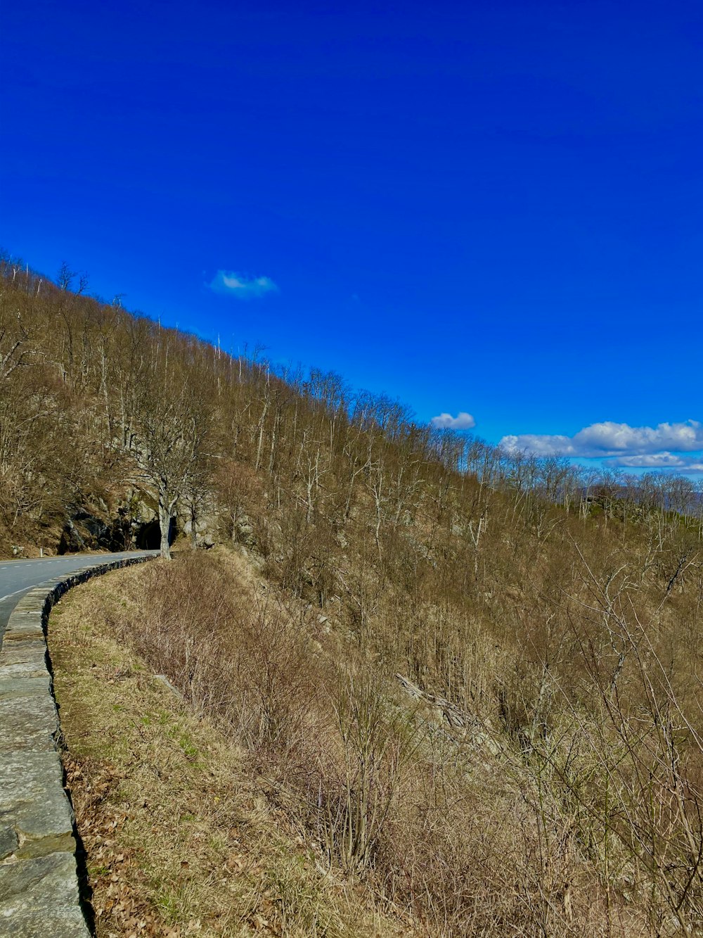
10. Shenandoah National Park
11. Great Smoky Mountains National Park
12. Saguaro National Park
13. Cuyahoga Valley National Park
14. Badlands National Park
15. Big Bend National Park
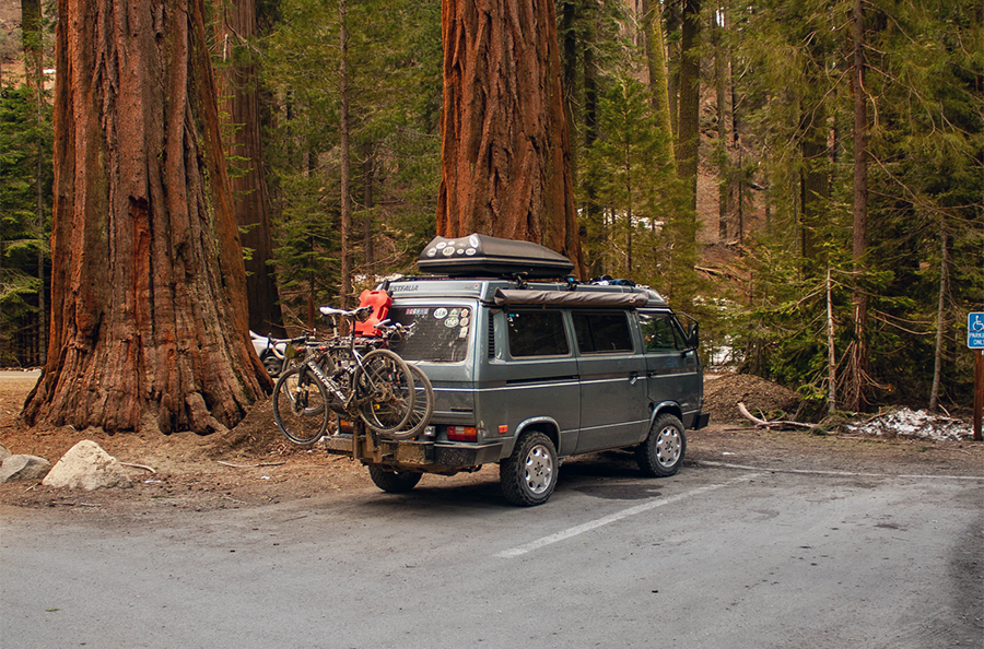
1. Yosemite Valley
With over 4.5 million visitors in 2019, Yosemite National Park in California is an icon known worldwide, offering a spectacular mix of poignant granite cliffs, cascading waterfalls, and breathtaking viewpoints. The park is not traditionally recognized for its cycling trails, however, with so many unforgettable stops through the valley, and bike infrastructure like bicycle rentals and stations to lock your bike while you explore, seeing the park from two wheels is a cyclist’s dream.
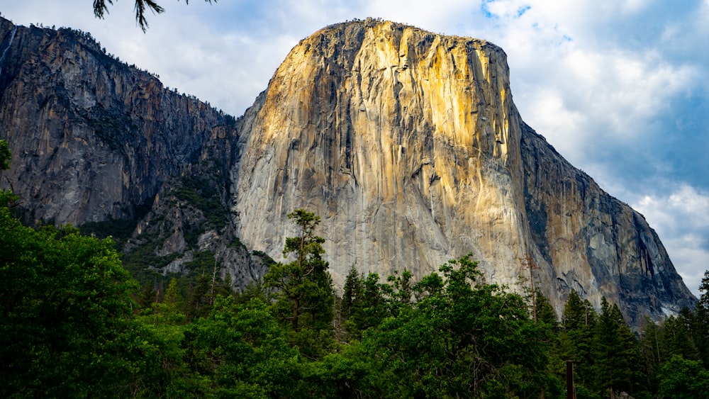
In Yosemite Valley, there are 12 miles of paved bike paths that run past many of the park’s highlights, including El Capitan and Yosemite Falls. It is permitted to cycle on the paved roads of the park with regular traffic rules applying to both vehicles and cyclists.
Paved roads from the valley floor to Yosemite’s mountaintop viewpoint, Glacier Point, is 24 miles long with over 4000 feet of elevation gain and culminates in a spectacularly beautiful panoramic vista. On the way to Glacier Point, and only 8 miles from the visitor center is the famous ‘Tunnel View’: a fabulous view of El Capitan, Half Dome, and the majesty of Yosemite Valley.
For road cyclists or day-tourers cycling, Yosemite National Park is a fantastic way to explore its sites, but anyone seeking off-road trail riding or mountain biking are out of luck. Neither is permitted on the park’s trails.
2. Rocky Mountain National Park
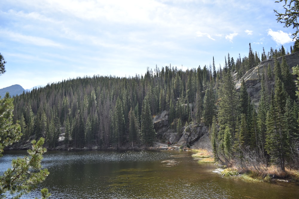
The Rocky Mountains are a key attraction in North America for their impressive peaks and high alpine forests. For cyclists, Trail Ridge Road is the main highlight of Colorado’s Rocky Mountain National Park, only open to bikes from April 1st – November 30th, due to extreme weather conditions at its elevation, peaking just over 12,180 feet.
Trail Ridge Road runs east to west, with a length of 48 miles, and an elevation gain of 4170 feet. The average gradient on the climb is 5%, sometimes reaching 7%, making it a challenging, though assuredly equally rewarding, ride. 11 miles are experienced above the tree line, and while the lack of trees does increase exposure to the elements, riders are greeted with stunning panoramic views of the nearby landscape.
It is generally recommended to visit during the shoulder seasons of spring and fall for the most bike-friendly experience, as the summer sees high volumes of visitors. Cyclists must ride in single file at all times, and regular road traffic rules apply in all other situations. Also, it is crucial to prepare for unexpected weather events.
3. Yellowstone National Park

Four million people a year visit Wyoming’s Yellowstone, making it the USA’s sixth most visited national park. If you are willing to brave the elements in the park during springtime, with unpredictable road and weather conditions, there is a short period (usually between March and April) when you can cycle plowed roads that haven’t been opened to motor vehicles yet. This area runs for 49 miles from the West Entrance to Mammoth Hot Springs.
Mountain biking is hugely popular at Yellowstone, and there are nine mountain biking trails scattered throughout the park that range from 1 to 6 hours in duration. These trails are open in summer and fall, and offer a complete experience of the park, passing all of the major highlights.
The National Parks Service recommends that cyclists exercise caution when riding on park roads, especially during peak visitor season in the summer. Vehicle traffic at this time can be heavy and “the park’s winding, narrow roads offer poor visibility and narrow (or nonexistent) shoulders”. There are no bicycle paths along roadways, so use good bicycle etiquette and safety protocol to stay safe.
4. Glacier National Park

Cycling in Montana’s Glacier National Park is one of the most unique biking experiences in the USA. The Going-to-the-Sun road stretches 50 miles, starting with a gradual 32-mile climb from Apgar Visitors Centre at the west side of the park, over Logan’s Pass at an elevation of 6,646ft, followed by a long descent to the east entrance.
Glacier National Park is completely unique in its diversity, demonstrated by its namesake: the colossal glacial features, soaring mountain peaks (more than one hundred above 8,000 feet), a scattering of pristine lakes (130 named lakes), vast coniferous forests, and an abundance of wildlife. This spectacular assortment of features is unmatched in the United States and much of the world, making the park a must-see.
Like Yellowstone, Glacier has a period during spring when the road is closed to motorized traffic but open to cyclists (you can check the road status here), making this a popular period for visitors on two wheels.
Road rules for cyclists are more particular here. From June 15th through Labor Day, between 11 am and 4 pm, bicycles are forbidden in the section of the Going-to-the-Sun Road from Apgar Campground to Sprague Creek Campground in both directions, and Logan Creek to Logan Pass east-bound only, so getting started early is important. Otherwise, bikes are allowed on all roads in the park, excluding trails, with three exceptions:
- The paved path from Park Headquarters to Apgar Village,
- The Fish Creek Bike Path from Apgar Village to Fish Creek Campground
- The Old Flathead Ranger Station trail.
5. Grand Teton National Park
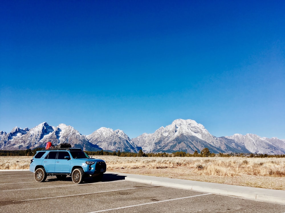
Cycling through Wyoming’s Grand Teton National Park rivals any other park for its towering mountain range rising up over 6,320 ft out of the Jackson Hole valley floor. The highest peak, Grand Teton, stands 13,770 feet tall, dominating the skyline. The contrast of the flat valley floor alongside the range makes for a dramatic experience while riding the Teton Park Road.
From Moose Junction, there is a designated pathway for non-motorized traffic that follows the Teton Park Road to the South Jenny Lake area. This pathway can be used during the season from May 1st to October 31st. The Teton Park Road between Taggart Lake Trailhead and Signal Mountain will be plowed and open on April 1st to bicycle traffic (vehicles permitted from May 1st) giving cyclists a month to enjoy the road without having to share it with vehicles. It should be noted that mountain biking on hiking trails in the park is not permitted, however, there are trails in the Bridger-Teton National Forest which are open for bikes.
Exploring the park is a holistic national park experience, with something for everybody amongst the mountains, rivers, lakes, and forests. Enjoy America’s most beautiful wildlife (from a distance), and soak up the views as you pedal your way through.
6. Canyonlands National Park
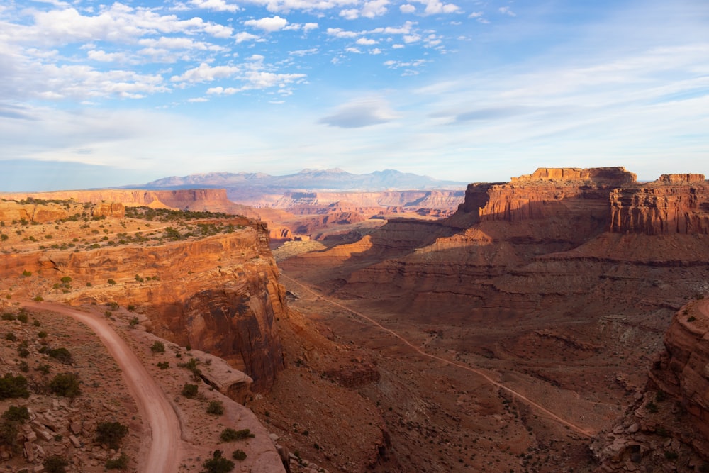
Utah’s Canyonlands National Park lies in the Colorado Plateau carved by the Colorado River. This breathtakingly vast canyon contains numerous impressive rock formations and river corridors, giving it a unique appearance, even when compared to the Grand Canyon.
It is possible to ride regular paved roads in ‘The Needles’ or ‘Island in the Sky’ sections of the park, however, the park is renowned for its seemingly endless mountain bike trails, and the 100 mile White Rim Road, which draws adventurers for single or multi-day rides through the canyon. Overnight or day-use passes are required to use the following roads can be reserved on the park’s website:
The most daring cyclists organize self-guided trips through the park with bikepacking or bike touring equipment for supplies, but there are many options for supported tours, where equipment and supplies are included and a support vehicle follows the group with gear and supplies.
Reservations are recommended well in advance as campsites can be filled up to 4 months in advance. It should also be noted that day-use passes are available for White Rim Road during flood season from early May through to late June.
7. Acadia National Park
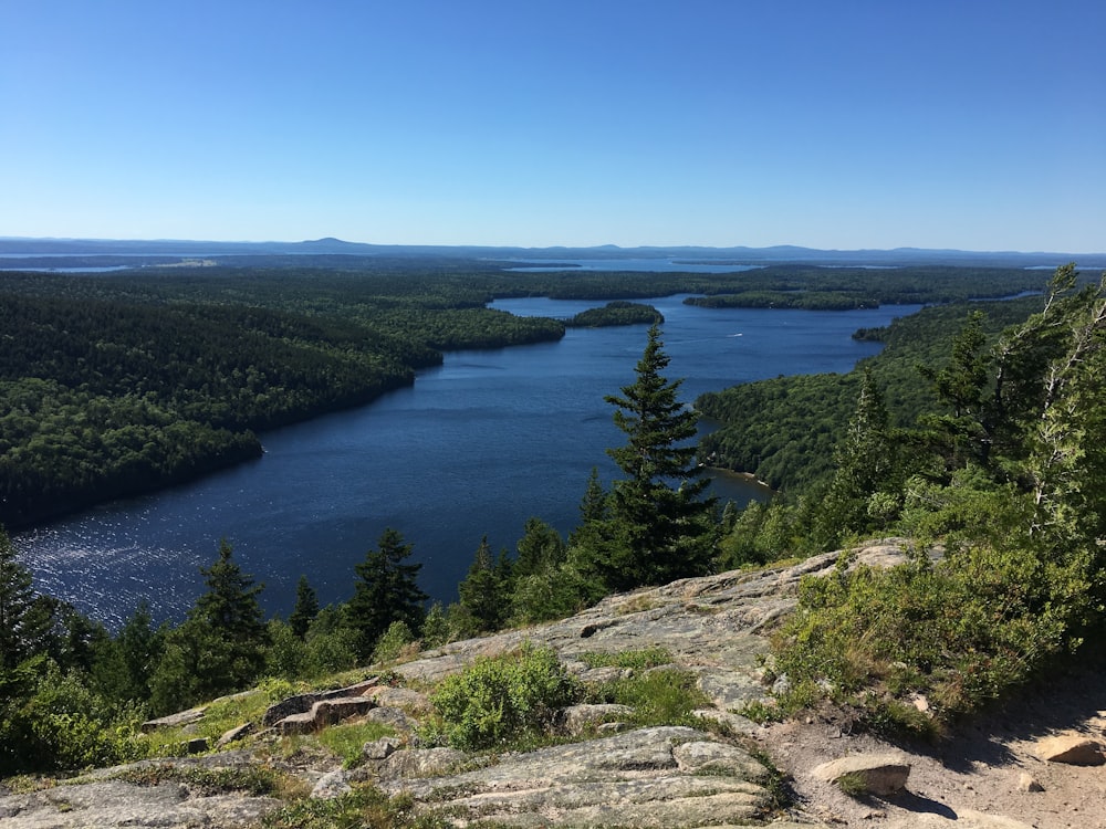
The east coast jewel that is Acadia National Park in Maine is situated along the north Atlantic coast and covers half of Mount Desert Island and other islands, along with the mainland coast. It is important to follow good bicycle safety etiquette while in the park and before planning your trip. Keep an eye on the park’s alerts for any news on road closures, for example, the March/April closures of the carriage roads for mud season.
Cyclists across the country visit Acadia each year to take advantage of its excellent biking infrastructure. Most notably, the 45-mile network of old carriage roads made from crushed rock that snakes around the mountains and valleys of the park, passing stunning viewpoints. This system of roads is closed to vehicles and is serviced by the ‘Island Explorer Bicycle Express’ ferry which takes cyclists across the sound from Bar Harbor Village Green to Eagle Lake.
Another highlight for cyclists is the Park Loop Road on the east side of Mount Desert Island. The road is 27 miles long with beautiful vistas scattered throughout, such as the Egg Island Overlook and the Precipice. It runs one way, for the most part, however, there is a small two-way section beginning at Wildwood Stables.
Also worth mentioning is the short 3.5 mile Cadillac Mountain Summit Road. The mountain stands at 1530 ft. and “is the highest point along the North Atlantic seaboard and the first place to view sunrise in the United States from October 7 through March 6”. Along the road, there are many viewpoints and breathtaking panoramic views when you reach the top.
Experiencing the USA’s National Parks is one of the greatest ways to connect with the vast country. By cycling, exposed to the elements, the sounds, and the slowness of the travel, you allow yourself to gain a deeper perspective of its natural wonders: a can’t-miss adventure of a lifetime.
In part 2 of our two-part series, we will explore a further 8 national parks and what they have to offer. Remember to visit the National Parks Service website when planning your trip to see updated park guidelines, road closures, seasonal conditions, and more relevant information.
Visitors can take advantage of bike rental services at most of the parks, or one of the many guided and self-guided tours available.
In part 1 of the series, we visited 7 breathtaking, bike-friendly national parks spread across the United States, discovering the various routes and trails on offer, along with key places to visit in each park, and park information and guidelines. We also included some important information about park safety and the fantastic annual parks pass, so be sure to check it out if you haven’t already.
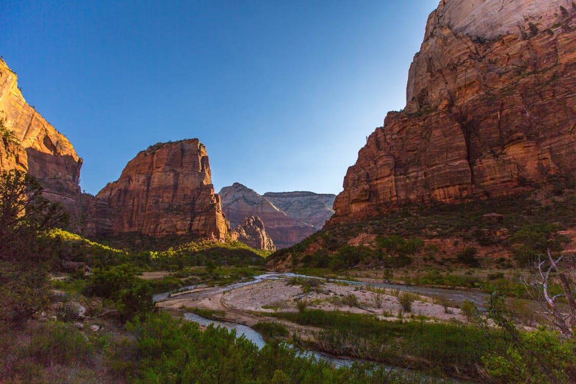
8. Zion National Park
Cycling in Utah’s Zion National Park allows visitors a unique look at the wonders the park has to offer. Spread over 232 square miles, the park’s assortment of colorful sandstone cliffs, towering plateaus, and winding canyons highlight the diversity of the Colorado Plateau. Zion is open to visitors all year round and hosts a diverse ecosystem of plants and animals to complement the diverse geography.
Riders have the opportunity to stop at their leisure along the 6-mile Zion Canyon Scenic Drive, on which only shuttle buses can operate. With less than 500 ft of elevation gain over the 6 miles, the road is suitable for most riders, and the park’s shuttle buses are equipped with bike racks just in case. Cyclist groups in the park are limited to 6, and cyclists are required to come to a complete stop so shuttle buses can pass on the Scenic Drive.
Another option for cyclists is the picturesque 1.7-mile Pa’rus Trail, a riverside multi-use path that begins at the visitor’s center and connects with Scenic Drive. All roadways are open to cyclists, however, bike traffic is prohibited on the other trails and in the Zion-Mount Carmel Tunnel (although other transportation can be taken through the tunnel).
At all trailheads and major bus stops there are designated areas to lock your bike, so you can enjoy the areas of the park closed to bicycles, including, most notably, the depths of the Narrows gorge, or the heights of Horse Ranch Mountain, which overlooks the park at staggering 8,726 ft.
9. Crater Lake National Park
Oregon’s 33-mile Rim Drive in Crater Lake National Park is a dream ride for many cyclists. The United States’s deepest lake, Crater Lake has formed roughly 7,700 years ago when Mount Mazama erupted and collapsed leaving behind only the caldera in which the 1943 ft deep lake and its iconic crystal clear waters formed. Crater Lake draws more than 750,000 visitors each year, with cyclists an ever-growing part of that number.
Rim Drive runs along the edge of the lake, complete with the challenging terrain of steep gradients and rapid descents. Scattered along the drive are 30 different viewpoints that riders can visit to soak up the vast expanse of the 6-mile wide lake and its surroundings. The loop challenges even seasoned riders with almost 3900 ft of elevation gain spread over the 33 miles.
Unfavorable winter conditions mean that Rim Drive is only open to cyclists from late May to late October each year, depending on snow. For two Saturdays of the open season, the road is closed to motorized traffic for the “Ride the Rim” vehicle-free cycling experience, giving opportunists a unique chance to experience the road in tranquility.
Mountain bikers can tackle the 8-mile long Grayback Drive trail, an unpaved road closed to vehicle traffic.
10. Shenandoah National Park
Virginia’s Shenandoah National Park spans 300 square miles in the mid-Appalachian Blue Ridge Mountains. The park’s two most prominent peaks, Stony Man and Hawksbill surpass 4000 ft in elevation which, in the summer sun, are often surrounded in a haze arising mostly from the park’s dense forestry. Cool and clear winter days usually offer the clearest look at the Virginia countryside.
Along Skyline Drive, the focal route for cycling visitors, there are 76 overlooks and some truly breathtaking vistas of the park. The road stretches the length of the park, 105 miles long, giving visitors several hours of cycling to take advantage of, and with various accommodation options along the route, one can easily turn a visit to Shenandoah a multi-day trip.
As mentioned, the fog in the park means extra caution and visibility preparation is needed before visiting. Shenandoah in particular is home to hundreds of black bears (depending on the season), so make sure to keep an eye out for them and the rest of the park’s abundant wildlife while maintaining a safe distance.
Cycling is permitted on all paved roads in the park, however not on trails or unpaved roads. While the park is open year-round, portions of Skyline Drive (the only way through the park) are closed due to weather conditions during the winter, so make sure you check before your visit.
11. Great Smoky Mountains National Park
South from Shenandoah along the Appalachian mountains lies the country’s most biologically diverse national park (19,000 identified species), covering over 800 square miles. Tennessee’s Great Smoky Mountains National Park provides visitors an array of towering mountain tops, vast hardwood forests, and an intricate 2,100 mile-long network of mountain streams punctuated with beautiful waterfalls.
Clingmans Dome dominates the skyline at 6,644 ft tall and is surrounded by another 16 peaks standing over 5000 ft, easily seen from Cades Cove Loop Road, the one-way 11-mile road highlighted as the park’s main route for bikes. The road passes by 19th-century homesteads and provides an opportunity to see some of the park’s varied wildlife.
The Cades Cove Loop Road is reserved for non-motorized traffic on Wednesdays from June 17th through September 30th, and as the park received over 12.5 million visitors in 2019, there is no better time to visit by bicycle.
Unfortunately, mountain biking and riding on park trails is prohibited in the park except on the following three trails: the Gatlinburg Trail, the Oconaluftee River Trail, and the lower Deep Creek Trail.
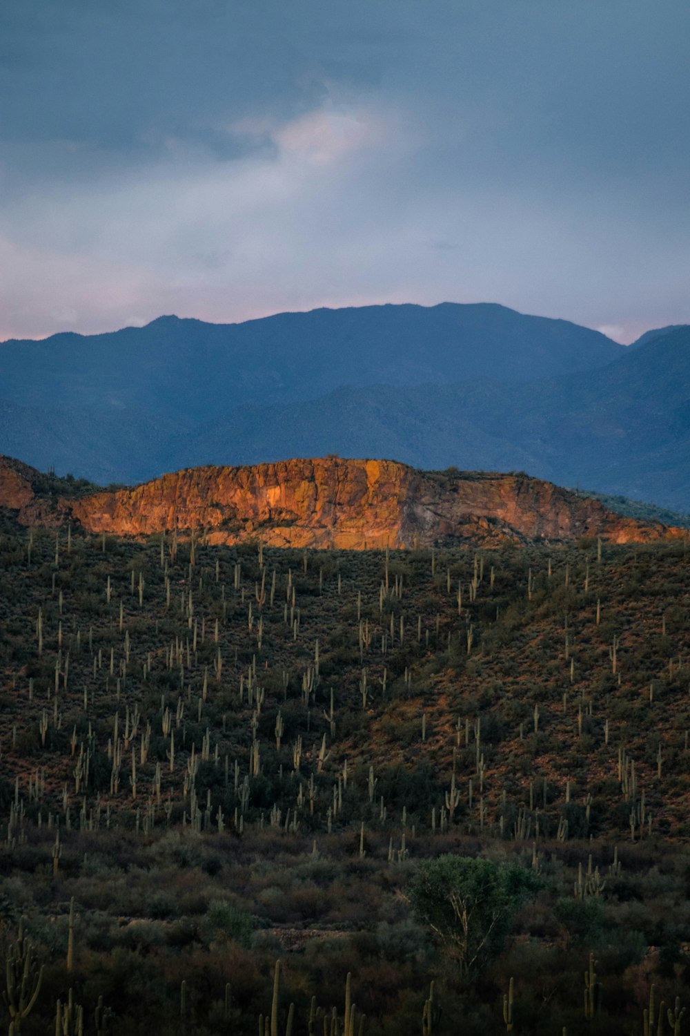
12. Saguaro National Park
Arizona’s lesser-known Saguaro National is named after the iconic saguaro cactus that dominates the Sonoran Desert. A representative of the Wild West, the saguaro can grow to a towering 40 ft and is protected within the park.
The park is famous for its prehistoric history that dates back 8,000 years with over 450 archaeological sites and 60 historic structures including rock art (petroglyphs and pictographs), rock shelters, and bedrock milling sites.
Cyclists visit Tucson and Saguaro year-round due to their favorable weather conditions and cycle-friendly infrastructure, making the park and its stunning desert scenery a must-visit. Due to extreme heat in summer, visitors should carry extra water, as there is none available on the popular biking routes.
There are two main routes to take by bike: the 8-mile long Cactus Forest Loop Drive in the Rincon Mountain District, and the 6-mile Bajada Loop Drive in the Tucson Mountain District. Both loops are open to all vehicles so following regular road safety guidelines is expected. Cyclists should note that the Cactus Forest Loop is paved, and the Bajada loop is gravel. Two shorter trails, the Hope Camp Trail and Cactus Forest Trail are also open to cyclists.
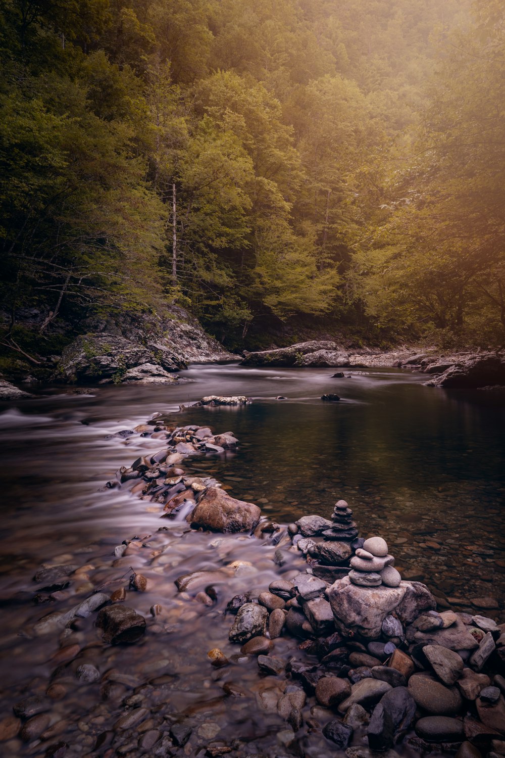
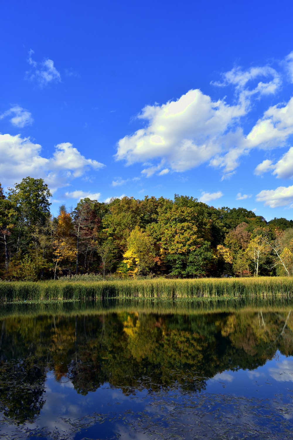
13. Cuyahoga Valley National Park
Ohio’s Cuyahoga Valley is a unique place. The natural abundance found in the park is due to its location and the blending of the Appalachian Plateau with the Central Lowlands. Shaped by glacial activity, the park is now built on the backbone of the snaking Cuyahoga River, which helps plants and animals to flourish in the park’s rich ecosystem.
The park is also home to historical mills developed around the waterways of the Ohio & Erie canal, as well as Brandywine Creek and its formidable 65 ft waterfall.
Visitors by bike can take advantage of the abundant cycling infrastructure. The most popular trail is the 20-mile Ohio & Erie Canal Towpath Trail which follows the route of the canal built in the early 1800s. If you don’t feel up to the return trip, you can jump on the Cuyahoga Valley Scenic Railroad with your bike. Riders should note that this trail is made of compacted gravel.
Aside from the historical towpath trail, Cleveland Metroparks have over 60 miles of paved, multi-purpose trails for bikes and other non-motorized traffic, and bordering the park there is the 16-mile Summit Metro Parks bike and hike asphalt trail.
Cuyahoga Valley is a playground for mountain bikers. The East Rim Trail System has over seven miles of trails for intermediate riders, with more currently under construction. As well as East Rim, there is a 9.9-mile single-track loop called the Bedford Singletrack and the 5-mile Hardy Road Mountain Bike Trail.
The park can be enjoyed year-round except for some minor closures due to maintenance and weather.
14. Badlands National Park
Cycling Badlands National Park is the perfect way to experience the beauty of one of the United States’ most archaeologically rich destinations. Located in South Dakota, Badlands covers 244,000 acres of prairie mixed with beautiful canyons, sandstone spires, and peculiar buttes.

The rapid erosion in the park results in ongoing discoveries of fossils, providing a glimpse of the ancient life that once lay claim to the region. You can visit the park’s fossil preparation lab during your visit to see the process up close.
There are four main areas to ride within the park. For riders who prefer paved roads, the challenging 24-mile Badlands Loop Road takes riders past the park’s main visitor’s center, as well as several overlooks where Badlands’ famous sunrises and sunsets can be enjoyed.
The Sage Creek Loop road (23 miles) goes through the heart of the Badlands wilderness area and includes 12 miles of paved road, and features four breathtaking overlooks. Northeast-Big Foot Loop (27 miles) and Northeast Loop (17 miles) are two easier trail rides with a combination of gravel and pavement starting from the Ben Reifel Visitor Center.
Visitors to Badlands regularly encounter wildlife, including the formidable bison which roam the prairies. It is required to keep a distance of at least 100 ft from all wildlife, and if passing by bicycle, cycle alongside a car to shield you while you pass.
The park can be enjoyed year-round, 24 hours a day (except for rare road closures due to weather).
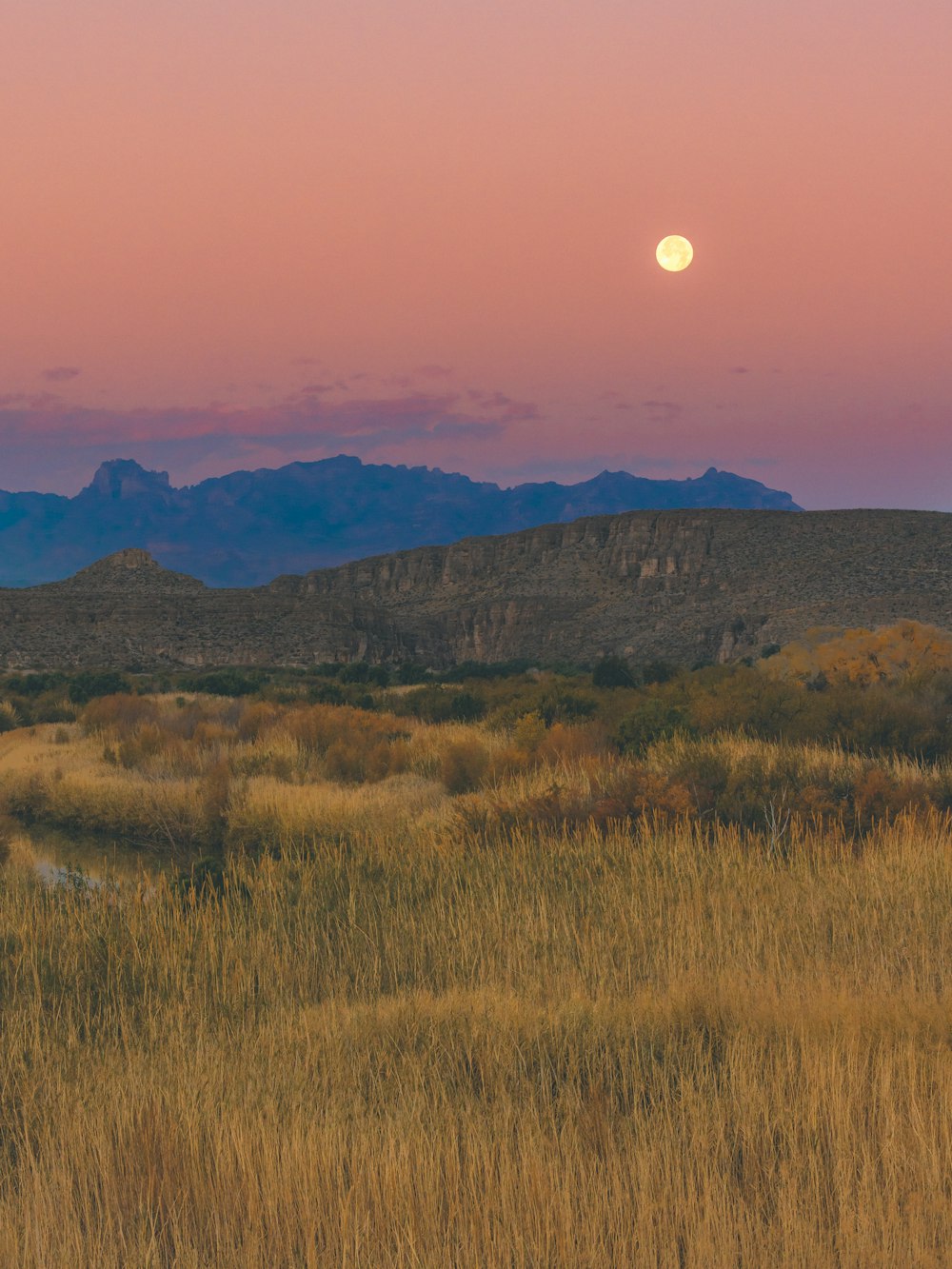
15. Big Bend National Park
The Lone Star State’s Big Bend National Park is a medley of rich ecosystems centered around the Rio Grande river on the Mexican border. The peaks of the Chisos Mountains rise up to 7,825 ft (Emory Peak) from the plains of the Chihuahuan desert, bringing a vivid green dimension to Big Bend, where visitors can catch a glimpse of the park’s diverse plant and animal life. The trinity of immense mountains and the vast desert is brought to life by the abundance of the Rio Grande, making the region a plentiful home to indigenous peoples and settlers for more than 10,000 years.
The diverse and bountiful terrain within the park makes it a uniquely satisfying cycling destination. Cyclists can find challenges of all shapes and sizes within the 100 miles of paved road and 160 miles of trails in Big Bend. Touring the park by bike gives visitors an unmatched view of the splendor held within, and is possible year-round with few exceptions due to weather. Extreme heat during the summer makes this period especially challenging and requiring greater preparation.
There are nine distinct bike trails within the park categorized as easy, moderate, and strenuous. Visitors can choose the route best-suited to them depending on the area of the park they want to visit, fitness levels, and time available (route durations range from 1.5-6 hours). Panther Junction to Rio Grande Village trail is a visitor favorite that passes close to the Hot Springs where visitors can warm up in the balmy 105°F water during the cooler winter months.
Image Credit: Pexels.com / Unsplash.com
Read Next
The Best Road, Gravel, and Mountain Biking Routes in the USA
Share this on: